
On 22nd of November, 2016, thanks to Can Tho University and World Bank, Research Institute for Climate Change, Can Tho University (DRAGON Institute – Mekong) held the training course “Introduction to creating map with Openstreetmap (OSM)”. This is part of the “Can Tho Urban Development and Resilience” Project in order to support innovative approaches to collecting, integrating and sharing geospatial data.
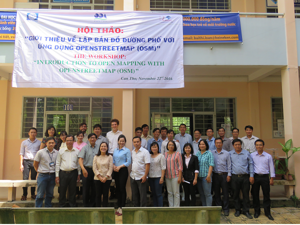
Training course: Introduction to creating map with Openstreetmap (OSM)
(Photo: DRAGON Institute-Mekong)
Attending the training course were representatives of agencies in Can Tho city and staffs, undergraduate students of DRAGON Institute-Mekong and College of Environmental and Natural Resources-CTU.
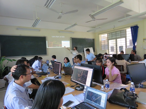
Attendant interacting with OpenStreetMap software (OSM) on computer
(Photo: DRAGON Institute-Mekong)
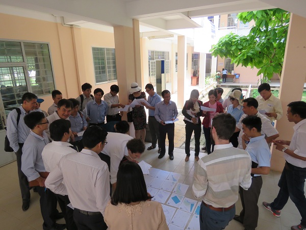
…and carrying out a field experiment (Photo: DRAGON Institute-Mekong)
Being taken place at DRAGON Institute-Mekong, the training course was an opportunity for learners to gain fundamental knowledge of OSM in theory and practice, a free mapping software, can be fixed by abundant user communities in the world with full of system service tools. Making map and source mapping that utilize open and collaboration platforms as OSM, it can provide high-definition maps for local planning in the city and widely used in communities.